Semuliki National Park | National Parks, Uganda
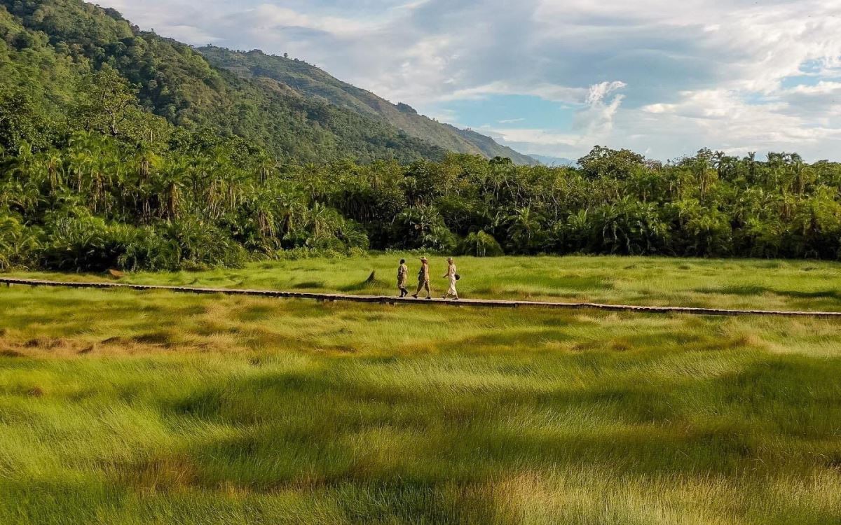
Semuliki National Park sprawls across the floor of the Semliki Valley on the remote, western side of the Rwenzori. The park is dominated by the easternmost extension of the great Ituri Forest of the Congo Basin. This is one of Africa’s most ancient and bio-diverse forests; one of the few to survive the last ice age, 12-18,000 years ago.
The Semliki Valley contains numerous features associated with central rather than eastern Africa. Thatched huts are shaded by West African oil palms; the Semliki River (which forms the international boundary) is a miniature version of the Congo River, the forest is home to numerous Central African wildlife species, and the local population includes a Batwa pygmy community that originated from the Ituri. As a result, this park provides a taste of Central Africa without having to leave Uganda.
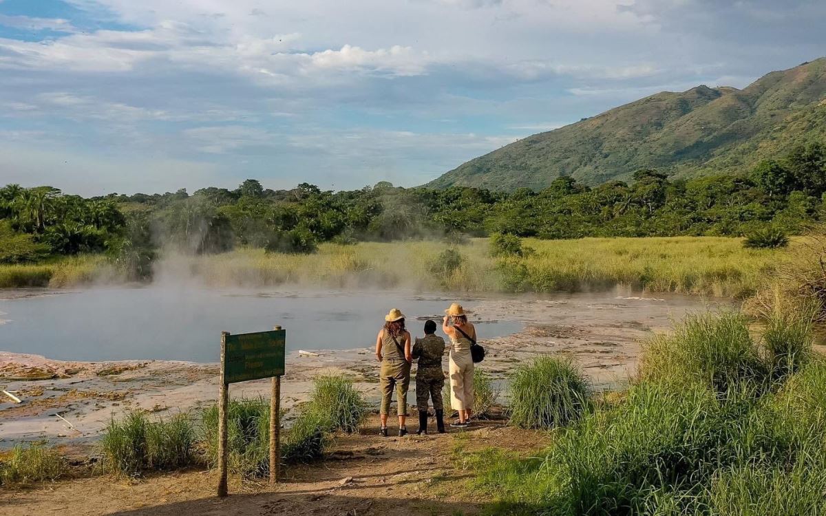
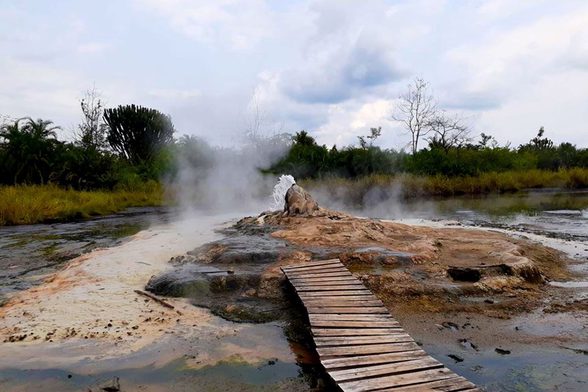
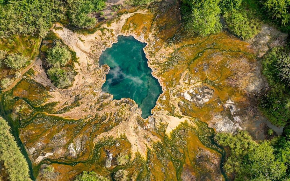
While Semuliki’s species have been accumulating for over 25,000 years, the park contains evidence of even older processes. Hot springs bubble up from the depths to demonstrate the powerful subterranean forces that have been shaping the rift valley during the last 14 million years.
Geography and Climate of Semuliki National Park
Semuliki National Park is located in Bwamba County, a remote part of the Bundibugyo District in western Uganda. Semuliki National Park has an area of 219 sq km and is part of the Central African Congo Basin forest system of the Democratic Republic of Congo (DRC), being separated from the Ituri forest of the DRC only by the Semliki River. It is separated from the rest of East Africa by the Rwenzori Mountain range and with it being located within the Albertine Rift, the western arm of the Great Rift Valley, it is included within the Eastern Afromontane biodiversity hotspot
The park experiences an average rainfall of 1,250 mm, with peaks in rainfall from March to May and from September to December. Many areas of the park experience flooding during the wet season. The temperature at the park varies from 18 to 30 °C, with relatively small daily variations.
The area that Semuliki National Park covers is a distinct ecosystem within the larger Albertine Rift ecosystem. The park is located at the junction of several climatic and ecological zones, and as a result has a high diversity of plant and animal species and many microhabitats. Most of the plant and animal species in the park are also found in the Congo Basin forests, with many of these species reaching the eastern limit of their range in Semuliki National Park.
Biodiversity
The flora and fauna show strong affinities with the Congo basin forest with many species reaching the eastern limit of their ranges in Semuliki Forest. The flora is dominated by a single tree species, Cynometra alexandri, mixed with tree species of a more evergreen nature. Swamp forest communities are also found. The fauna of the forest is outstandingly rich and includes more than 400 bird species of which 216 (66% of the country’s total) are true forest birds such as the rare Sassi’s Olive Greenbul (Phyllastrephus lorenzi) and Forest Ground Thrush (Turdus oberlaenderi). Nine species of hornbills have been recorded as well. 75% of the Charaxes butterfly genuses are found in this forest, 441 species of bird, one species of primate, and one of butterfly are only recorded from this area in the East African part of their ranges. The forest is home to 53 mammals of which 27 are large mammals. 11 species are endemic to the park including the pygmy antelope and two flying squirrel species. It is also home to the peculiar water chevrotain, known as the “fanged deer”
Mammals include leopards, hippos, elephant, forest buffalo, hippopotamus, civets, potto, bush babies, mona monkeys, water chevrotains, and nine species of Duikers, including the Bay Duiker (Cephalophus dorsalis) and the Pygmy Flying Squirrel (Idiuus zenkeri) that occur nowhere else in East Africa.
Tourism
Tourists can visit the park any time throughout the year, although conditions in the park are more difficult during the rainy season (December to March: It is hot and dry, April to June: It is relatively rainy, July to September: It is dry with occasional passing rain, where as October to November: there are short heavy rains) and it is usually advisable to use 4x4 vehicles while in the park, Note that seasons are changing in the world and very often no longer predictable as ever before. Available tourist accommodation in and around the park includes lodges notably Semuliki Safari Lodge, Ntoroko Game Lodge and Camp and alternative budget accommodation in Bundibugyo and Fort Portal towns.
The major tourist activities in the park include game viewing by vehicles on dirt roads, hiking and Nature Walks in Semuliki, Birding, and Cultural Encountersm as well as visiting the Sempaya Hot Spings.
Seek advice from your local Uganda safari operator on how best you can access the park as well as how to pay for any of the activities you wish to get involved in. Note that you can book your activities from the Uganda Wildlife Authority offices in Kampala or at any entry points of the park.
Semuliki National Park is approximately 6 hours from Kampala by road following the Kampala-Mubende-Fort Portal road, with an alternative route of Kampala-Mbarara-Kasese-Fort Portal route taking approximately 9 hours drive. The park is about 2 hours from Fort Portal. Regular scheduled flights by Aero Link take about 2 hours and fly into the park at Semuliki Airstrip from Entebbe airport. Charters can easily be arranged as well by Aero Link, Eagle Air, Kampala Aero Club, and Ndege Jju.
The Semliki Valley contains numerous features associated with central rather than eastern Africa. Thatched huts are shaded by West African oil palms; the Semliki River (which forms the international boundary) is a miniature version of the Congo River, the forest is home to numerous Central African wildlife species, and the local population includes a Batwa pygmy community that originated from the Ituri. As a result, this park provides a taste of Central Africa without having to leave Uganda.

